
Boundary Surveys
Deed research, monument recovery, field investigation, lot line staking, and boundary determination for residential and commercial properties.
Call or text for a survey quote: (207) 332-8343
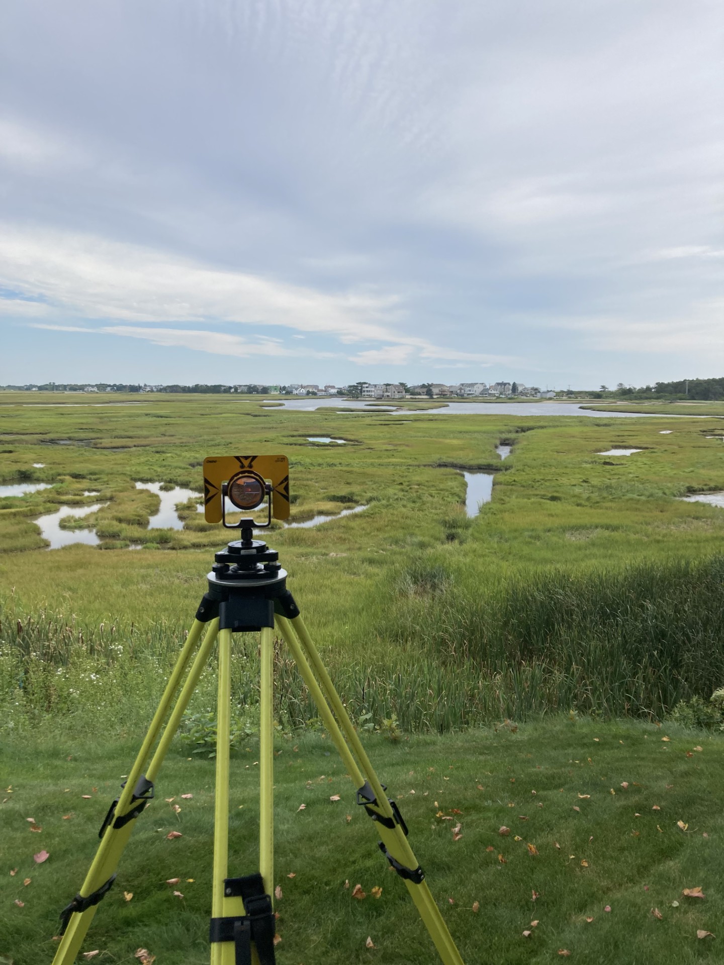
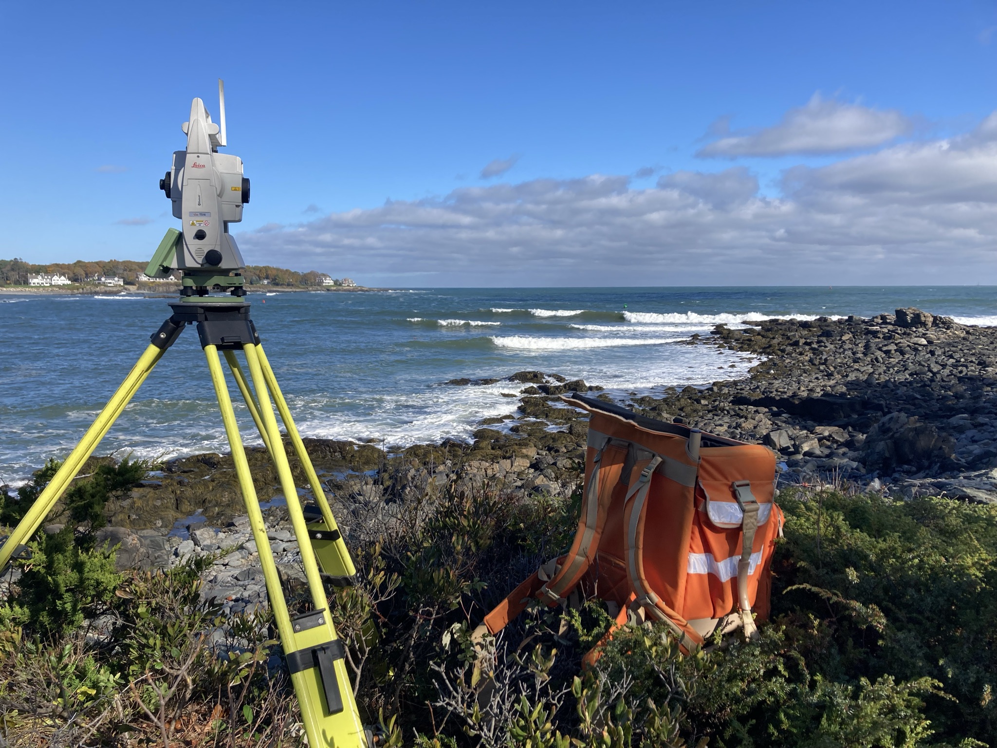
Portside Survey provides dependable surveying services for land owners, developers, builders, real estate professionals, and others throughout Maine and New Hampshire, including boundary surveys, existing conditions surveys, and construction layout.
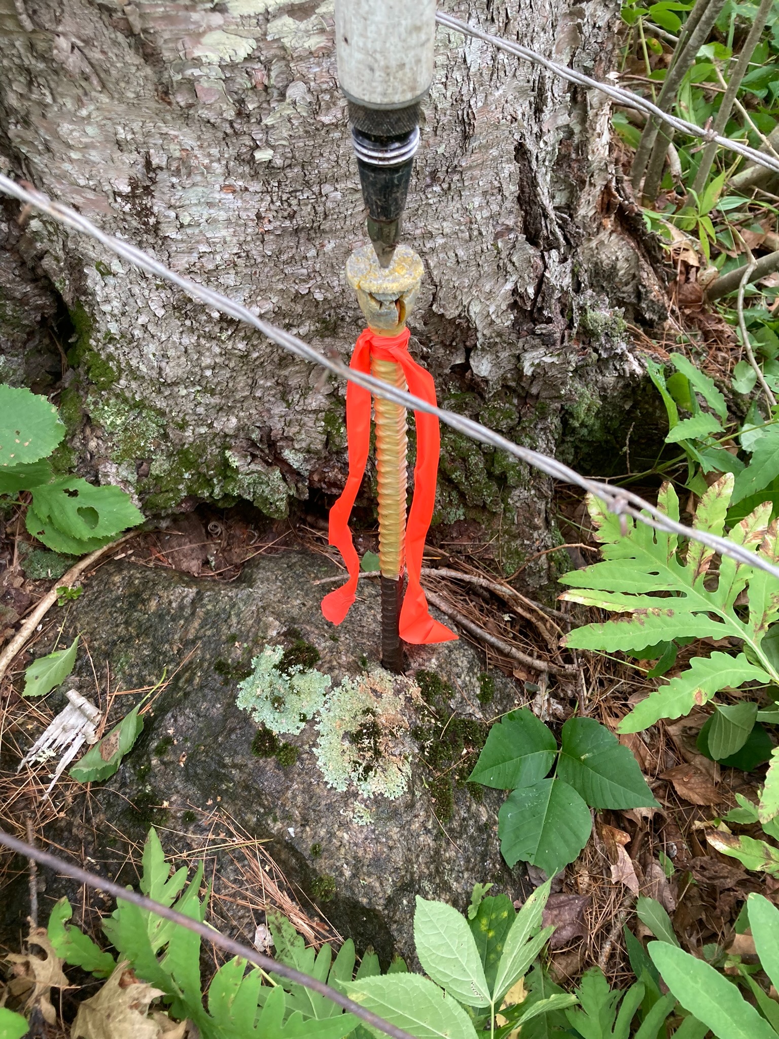
Careful deed research, monument recovery, and evidence-based boundary evaluation.
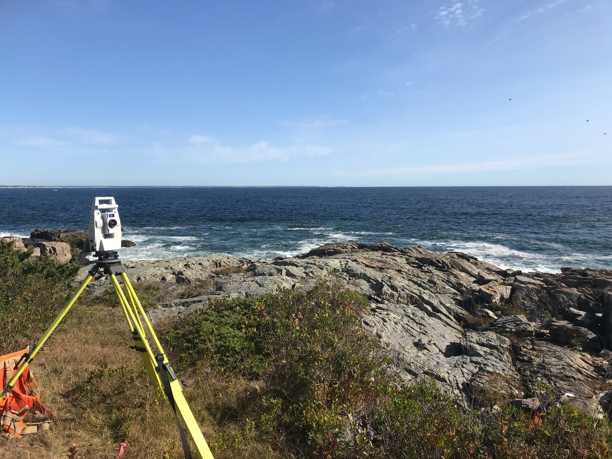
Field work on oceanfront properties across southern Maine + New Hampshire and local understanding of complex shoreland zoning laws.
Layout and staking services that help keep projects aligned in the field.
Clear updates from first call through final deliverable.
Professional land surveying services for land owners, developers, builders, real estate professionals, and others.
Deed research, monument recovery, field investigation, lot line staking, and boundary determination for residential and commercial properties.
Mapping of terrain features and existing improvements such as buildings, driveways, impervious surfaces, and topography for engineering, design, permitting, and land planning/development.
Survey support, consulting, and drafting of proposed site improvements such as new buildings, building additions, decks/patios, ADUs (Additional Dwelling Units), and other features to assist with attaining permit approvals.
.JPG)
Reliable field staking and construction support to keep projects aligned in the field and ensure building setbacks are met.
Survey support and consulting for land development such as subdivisions, lot splits, and lot line adjustments.
Survey support to help determine flood risk and potentially relieve the requirement for flood insurance on your property.

Portside Survey is owned and operated by Josh Schneier, a Licensed Professional Land Surveyor (PLS) based in Wells, Maine.
Josh holds a Bachelor of Science in Survey Engineering Technology from the University of Maine and has years of experience surveying properties across York County, coastal Maine and New Hampshire. He founded Portside Survey to bring responsive, high-quality land surveying to southern Maine and New Hampshire, and holds professional licenses in both states. He brings hands-on expertise with coastal and shoreland properties, complex boundary research, and the local knowledge that comes with working in this region every day. Josh was raised in Kittery, Maine and now resides in Wells with his wife Lilly. In his free time, he enjoys surfing, fishing, golfing, and exploring the great woods and waters of Maine and New Hampshire.
Every project at Portside Survey is handled personally, from initial consultation and deed research through final deliverable, so you always know who you're working with and can reach someone directly when you have questions.
Portside Survey is open to work throughout Maine and New Hampshire. Based in Wells, ME and primarily serving York and Cumberland Counties, southern Maine, and New Hampshire, including nearby coastal and inland communities such as Wells, Kennebunk, Kennebunkport, Arundel, Biddeford, Saco, Old Orchard Beach, Scarborough, Ogunquit, York, Kittery, Eliot, the Berwicks, Portsmouth, Rye, and surrounding areas. While based in southern Maine, Portside Survey is willing to travel throughout the state for projects, such as recent work in the Belgrade Lakes Region.
Describe your project and we'll follow up with a free estimate as soon as possible, or any follow up questions.